Instructions:
1. Install MapEdit
2. Register as a member at malsingmaps.com
3. Download Singapore map
4. Open Singapore map with MapEdit
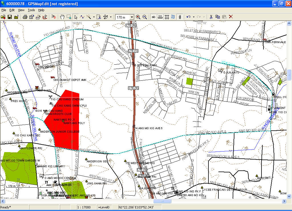
This is a screenshot of the Singapore map on MapEdit.

To calculate distance on MapEdit:
1. Zoom in to required area.
2. Select "Create object" on toolbar.

3. Mark points of route with mouse.
4. When done, right-click and select "End".
5. Specify type of object (as far as a runner is concerned, this changes only the colour and thickness of the line drawn in) and name the route.
6. To see distance of route, select "Select Objects" on toolbar. (That's the little white arrow.)
7. Right-click on route and select "Properties". The distance is in the "Elements" tab.

To save map with running routes:
1. Save map in "Polish format".
2. Export map to "Garmin IMG/ cgpsmapper.exe".
3. Save map.
As a bonus, malsingmaps.com also has downloadable maps of the roads and trails in Malaysia. Best of all, this solution is completely free. It does not require an internet solution, and is quick and easy to use. :) Great stuff eh?
Enjoyed a lot!
ReplyDelete»
I had downloaded the Singapore map and tried opening this map with *.m7a and *.m7b with no success. Error says "Unknown file type". I also realised that GPSMapedit is shown as unregistered after installation. I found that it requires a license key before activation can be performed via internet. Please advise. Thanks!
ReplyDelete